Soil Data
EPA Soil Map
EPA soil maps calls an EPA server.
This code can be found by looking at the javascript in the https://swcweb.epa.gov/stormwatercalculator/soiltype website.
    searchRadius = 1000;
    soilDataURLString = '/swcalculator-server/api/v1/soils?latitude=' + locationMarker.getLocation().latitude + '&longitude=' + locationMarker.getLocation().longitude + '&distance=' + searchRadius;
    precipitationURLString = '/swcalculator-server/api/v1/metStations?latitude=' + locationMarker.getLocation().latitude + '&longitude=' + locationMarker.getLocation().longitude;
    costURLString = '/swcalculator-server/api/v1/costing?latitude=' + locationMarker.getLocation().latitude + '&longitude=' + locationMarker.getLocation().longitude;
If you call the Soil Data URL with a lat long you soil data back similarly to how we get the data.
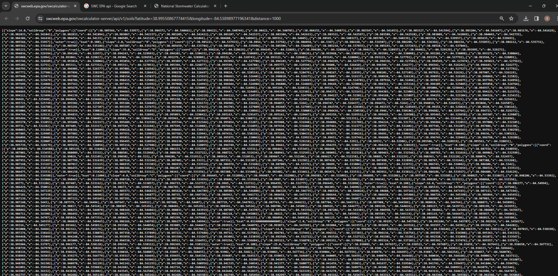
I went looking for EPA SWC documentation in hope to find where they are getting there Soil Map data.
Power Point https://cfpub.epa.gov/si/si_public_file_download.cfm?p_download_id=546744&Lab=CESER
This is an overview of EPA’s SWC Presented in April of 2023 and most of it is not about soil maps. However there is one Slide where it is mentioned.
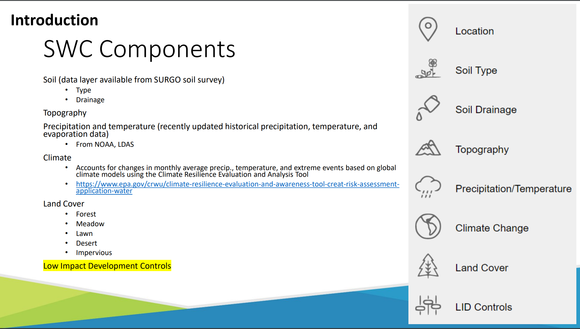
So the soil data layer is available from SURGO soil Survey.
SURGO was a new acronym to me so I asked chat.
“The SURGO (Soil Survey of Urban, Rural, and Natural Landscapes) soil survey is a comprehensive soil mapping initiative undertaken by the United States Department of Agriculture (USDA) Natural Resources Conservation Service (NRCS). This survey aims to provide detailed soil information for various types of landscapes, including urban, rural, and natural areas.
The SURGO survey builds upon traditional soil survey methods but places particular emphasis on urban and developed areas, where soil mapping and characterization are often more challenging due to human alterations to the landscape. It incorporates advanced technologies such as remote sensing, geographic information systems (GIS), and digital soil mapping techniques to gather and analyze soil data efficiently and accurately.
The data collected through the SURGO soil survey are valuable for a wide range of applications, including land management, urban planning, environmental conservation, agriculture, construction, and infrastructure development. By providing detailed information about soil properties, characteristics, and limitations, the SURGO survey helps stakeholders make informed decisions regarding land use and management practices.”
The USDA soil survey sounds very familiar that is what we have used in the past. It brings us back to a well used url https://websoilsurvey.nrcs.usda.gov/app/
But why does EPA’s work better than our own?
SWC EPA web server. Swagger UI epa.gov
GQC Soil Map
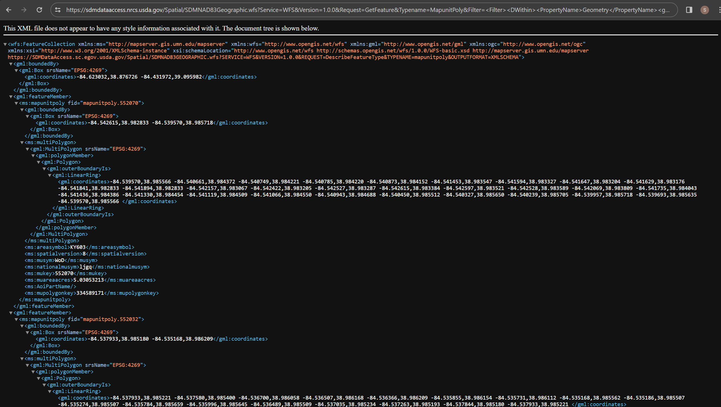
We are accessing the soil data map https://sdmdataaccess.nrcs.usda.gov/Spatial/SDMNAD83Geographic.wfs?Service=WFS&Version=1.0.0&Request=GetFeature&Typename=MapunitPoly&Filter=
It returns a xml file
 Web service help for Data access USDA